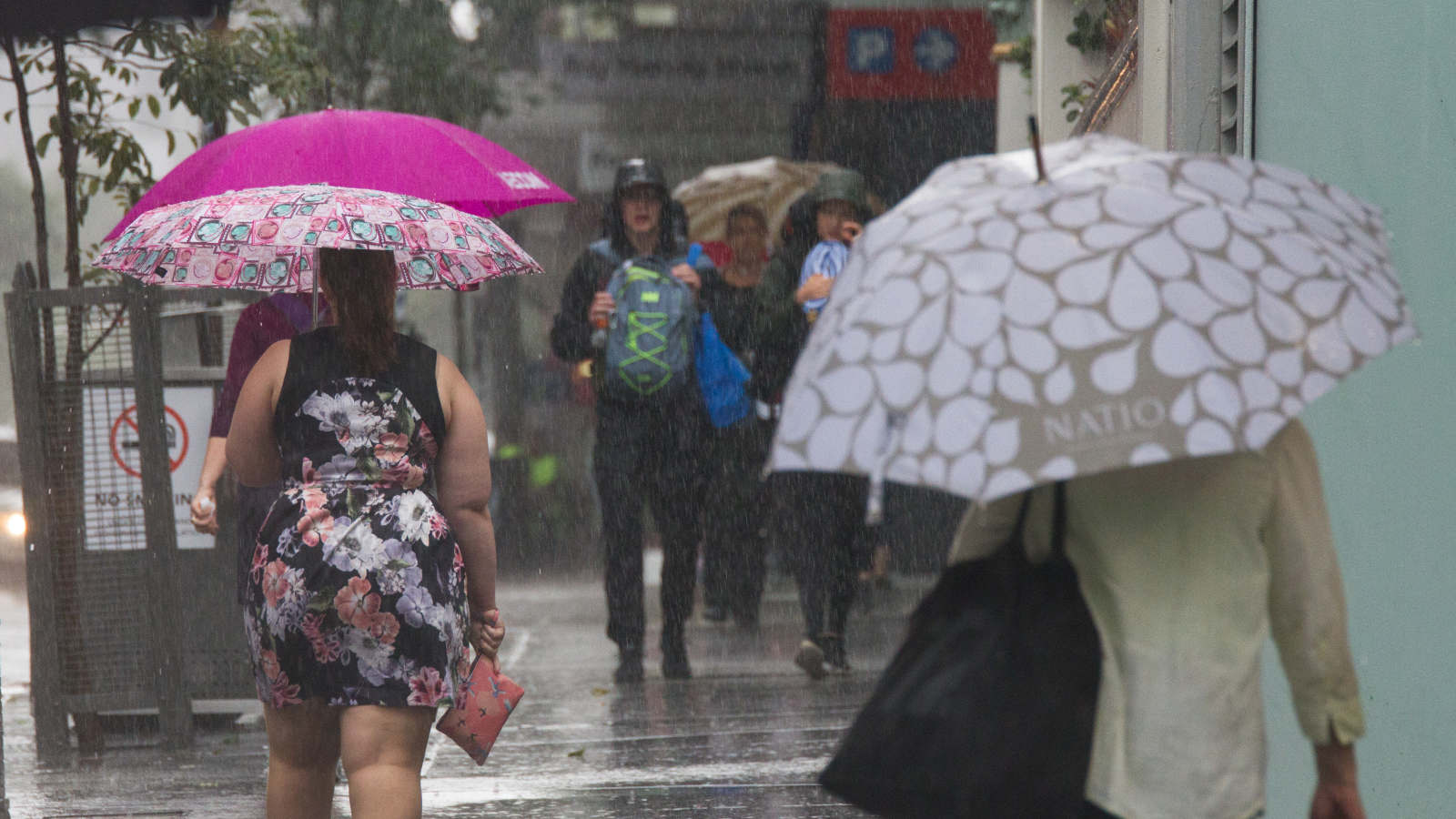
Warmer nights but rainy days to come in Queensland this winter
by Jocelyn GarciaWarmer-than-usual ocean temperatures are likely to drive wetter-than-average conditions for Queensland in the next three months, the Bureau of Meteorology's 2020 Winter Outlook suggests.
The bureau's manager of long-range forecasting, Andrew Watkins, said areas in the south that might have more rain or clouds could see temperatures closer to average, while the north could have warmer temperatures because of its dry season.

"We have two ocean drivers going on at the moment," he said. "Off to the west in the Indian Ocean, there’s warmer-than-normal ocean temperatures out there.
"That will tend to mean more evaporation, more moisture, and a bit more heat too that will come across from the west and into Queensland.
"Now to the east, we have warmer-than-normal ocean temperatures to the north of Papua New Guinea and the north of the Solomon Islands that will bring a bit more moisture and a bit more heat across the Coral Sea and into Queensland."
Dr Watkins said Queensland would be like much of Australia, which had a more than 70 per cent chance of having a wetter-than-average winter, particularly in inland areas.
"The only exceptions are the coastal fringes of NSW and eastern Victoria, parts of Tasmania and areas of south-west WA, where the outlook isn't pushing towards wetter or drier than average conditions," he said.
"Parts of northern Australia are also showing no strong push towards wetter-than-average conditions, but this is typically the dry season anyway."
Daytime temperatures throughout winter are expected to be cooler than average for much of the southern half of the country.
Overnight temperatures are likely to be warmer than average across Australia.
Dr Watkins said areas with a higher chance of above-average rainfall appeared to have increased chances of cooler than average days because of more cloud cover and more evaporative cooling in the coming months.
"Conversely, it means our nights are more likely to be warmer than average because that cloud cover will prevent heat from escaping during the evenings," he said.
Dr Watkins said Queensland's summer and autumn were drier than average in the east but wetter than average in the western parts of the state.
"And that was a result of Tropical Cyclone Esther early on in the year," he said.
"But during late May, we did see some very cool temperatures, and, in actual fact, the 23rd of May is likely to come in as the coldest May day that Queensland has ever recorded."