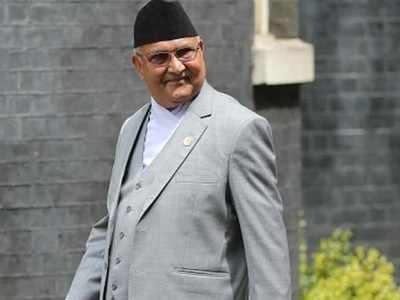
Nepal's proposal to validate new map delayed
by Sachin ParasharThe Nepal government's proposal for a Constitutional amendment to revise Nepal's map in the national emblem has run into rough weather despite PM K P Oli claiming widespread support for his controversial move to change the country's map. Unsure of majority in Parliament, with support not forthcoming from Madhesi parties, the Oli government seemed to have put the proposal on hold Wednesday.
For Nepal, it's important to validate the new map, which shows parts of India's Pithoragarh district as belonging to Nepal, by revising its image in the national emblem.
Official sources here said India was carefully following developments in Nepal and that sensitive border issues required trust and confidence so as to allow these to be resolved to mutual satisfaction.
"We note that there is a larger ongoing debate on this matter in Nepal. It underlines the seriousness of this issue. It also demonstrates the value being attached to relations between Nepal and India," said a source.
According to Nepal government sources though, there was still unanimous support for the new map and it was likely to be approved by all political parties in Parliament "in days".
The Bill, which was registered with Parliament on May 22, needs to be passed with a two-third majority by both Houses of Parliament. The ruling Nepal Communist Party falls just short of majority in House of Representatives or the Lower House. The Bill couldn't be tabled on Tuesday as Oli looked to build consensus by calling for an all-party meeting.
The main reason for the Bill being put on hold is the position taken by Madhesi parties that the proposed amendment also address their concerns on issues like citizenship and the need to revise provincial boundaries. Some of the Madhesi leaders were also quoted as saying that they agreed all parties had a " common view" on the map issue.
The Madhesis seemed to have received support from the main opposition party, Nepali Congress, even though the latter had supported the release of the new map. The party, according to local media reports, said that the Constitutional amendment proposal needed discussion in the party.
“We support the territorial integrity of the country and we also support the government’s release of the map,” Krishna Prasad Situala, a Nepali Congress leader, told Kathmandu Post. “But a decision on the amendment to update the map will be made at the forthcoming Central Working Committee meeting. So we requested that the amendment be put on hold for the time being," he added.
Nepal's release of a new map last week depicting territories in Pithoragarh as its own had angered India. The government had responded by accusing Kathmandu of making baseless and unjustified cartographic assertion in the form of the new map. The Oli government had shown the Kalapani area along with Lipulekh Pass and Limpiyadhura as belonging to Nepal.