From Covid to the cold - Western Cape's disaster management bracing for stormy weather
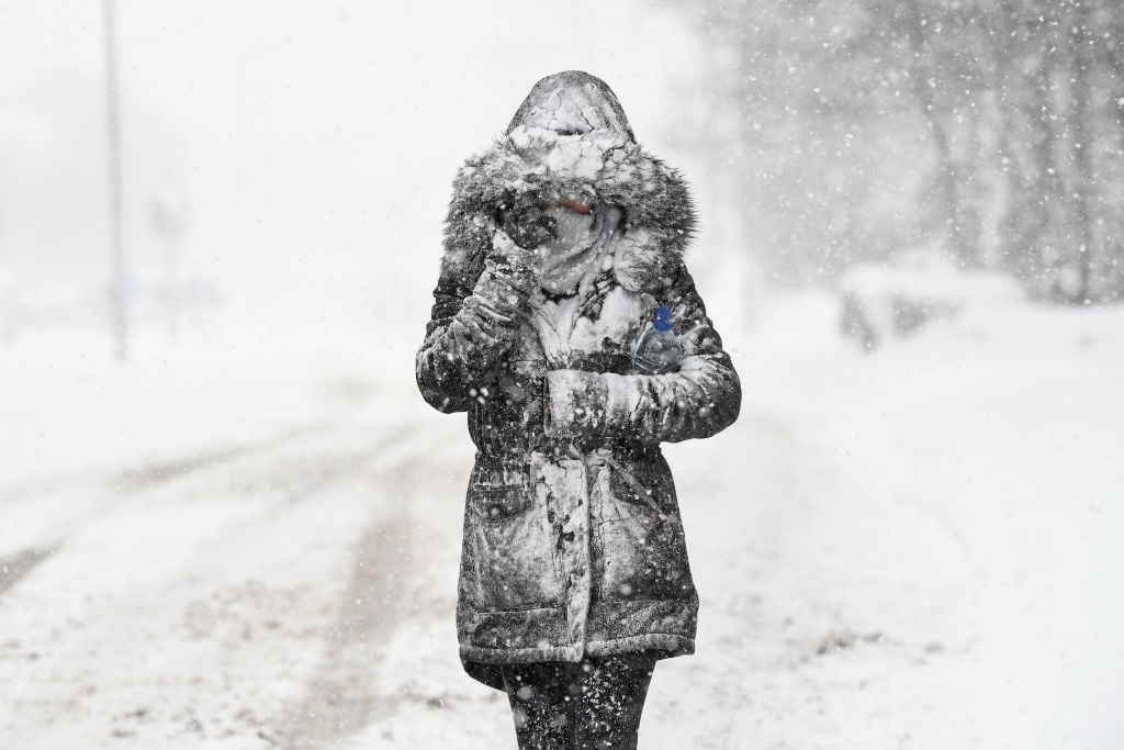
by Jenni EvansMonday's driving rain and cold wind are just a taste of what is to come, with snow predicted for the mountains of the Western Cape, the higher ground of the Eastern Cape, and the southern heights of the Northern Cape on Tuesday.
The SA Weather Service warned that there would be more snow and gale force winds on Tuesday morning - and, for those at sea, there would be high seas.
"The first cold front for the winter made landfall early this morning in Cape Town," said James-Brent Styan, spokesperson for Anton Bredell, the MEC for local government in the Western Cape.
Stormy
"It has brought stormy, cold and wet weather, reinforced by gale force winds across large parts of the province," he said.
These conditions can be expected into the rest of the week, with snowfall expected in the mountain passes in the province.
READ | Tornado rips through parts of KZN
He urged the public to use caution when travelling outdoors over the next few days and to call 112 if they needed help.
Provincial and municipal Disaster Management Centres are already activated for the ongoing Covid-19 situation and remain fully operational and able to assist with any emergency.
"We're happy to see some wet weather in the Western Cape because it means our dam levels will get a much-needed boost. At the moment, the dam levels across the province are 35.1%. Last year at this time, the level was 33.5%."
On Monday morning, a part of Chapman's Peak in Cape Town had to be closed due to a mudslide, and the Huguenot Tunnel was closed.