How to drive in winter in British Columbia
by Steve Arstad
This week’s temperature plunge into a deep freeze is an abrupt reminder that winter is on our doorstep, even if there isn’t any white stuff on the ground — yet.
That’s not the case on high elevation mountain passes like the the Coquihalla, Rogers Pass or Allison Pass, where snow has been falling for several weeks.
Now is as good a time as any to review travelling advice and road safety features found on the B.C. Transportation website, geared to providing advice to motorists travelling about the province in winter months.
They offer a mobile version that can be used on a cell phone or tablet to show real-time traffic cameras, major events, and weather advisories.
Mobile users can plan their route before heading out and get a sense of what kind of conditions they may encounter, where variable speed areas begin, take a look at the webcams along their route and find out which brake check stops offer wifi, electric vehicle charging stations, and bathrooms.
It’s easy for travellers to have a false sense of security when embarking on a journey to the coast or to Alberta on a benign winter day in Kamloops or the Okanagan, only to find themselves caught unprepared for a wintery hell in one of the mountain passes.
B.C. Transportation weather services specialist Simon Walker says one thing people need to understand about travelling mountain passes between the interior in winter is how extreme snowfall intensity and accumulation rates can be on high elevation highways like the Coquihalla and Hope-Princeton.
Snowfall accumulation rates can exceed 10 cm per hour. The number one thing drivers need to do is slow down, be patient and aware when such conditions exist.
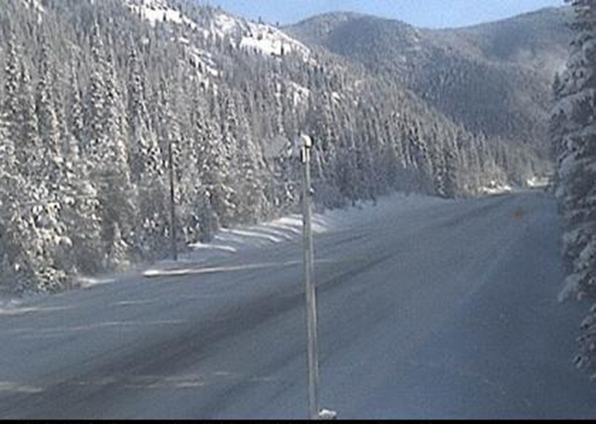
A key piece of the journey can be viewed even before you get in your vehicle, as B.C. Transportation’s network of highway cameras continues to grow, providing up-to-date visual information about the route you’re about to take.
The Drive B.C. webcam program has been in place since the mid 1990s and now has 454 webcams offering 867 highway views throughout B.C.
Recent installations include a new site at Yellow Lake on Highway 3A, south of Penticton, Highway 1 at Spences Bridge, and Highway 3 near Mount Kobau, west of Osoyoos.
While the webcam images are not live, the images, refreshed every two to 15 minutes, provide a more than adequate, close to real-time visual of the conditions you’ll encounter along the way.
Walker suggests checking webcams as well as the Drive BC website for road conditions before leaving Kamloops or the Okanagan. An awareness of alternate routes is another way to be prepared. Conditions can change rapidly in the mountains in winter.
It might be a shirtsleeve winter weather day in the valley or on the coast, but highly unlikely to be similarly comfortable at the top of the Coquihalla or Allison summit.
Walker advises carrying some warm clothing, boots and gloves, as well as some food and water.
A few seconds of extra preparation could save a number of uncomfortable hours if traffic is stopped along the way.
Proper tires are also essential, with full descriptions on B.C. Transportation’s website. Minimum requirements for travelling mountain passes are tires must carry at least an M+S designation and have a tread depth of at least 3.5 mm.
Keeping a full tank of gas will also go a long way to saving anxious moments if the trip doesn’t unfold as planned.
